Eesh sorry for the long delay – a lot has happened since my last post, but I’m still rolling and having a great time. First, I realize that this blog sometimes seems like a laundry list of all the things that have gone wrong, and that it might seem like the trip is a disaster. I’m mostly just trying to highlight the more interesting things, and the baseline of bike touring is days filled with excellent writing, gorgeous views, great camping, and friendly people. As I have said often “any time on the bike is better than real life!” Anyway, let’s try to catch up…
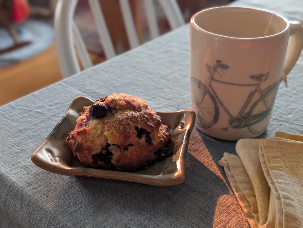
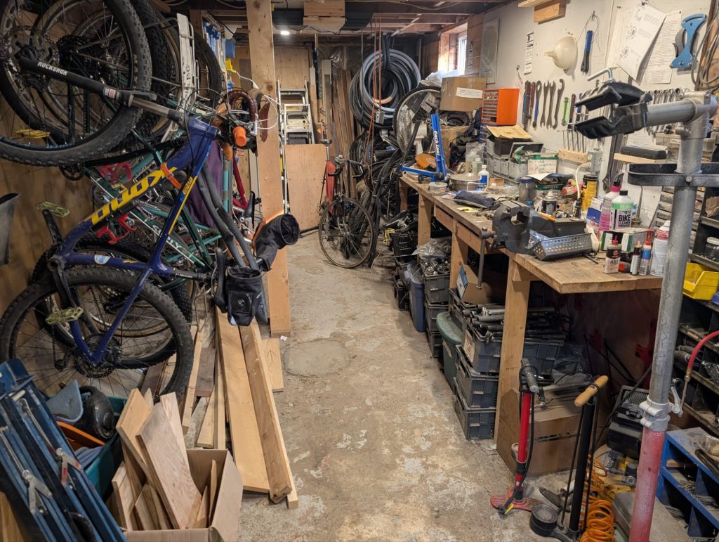
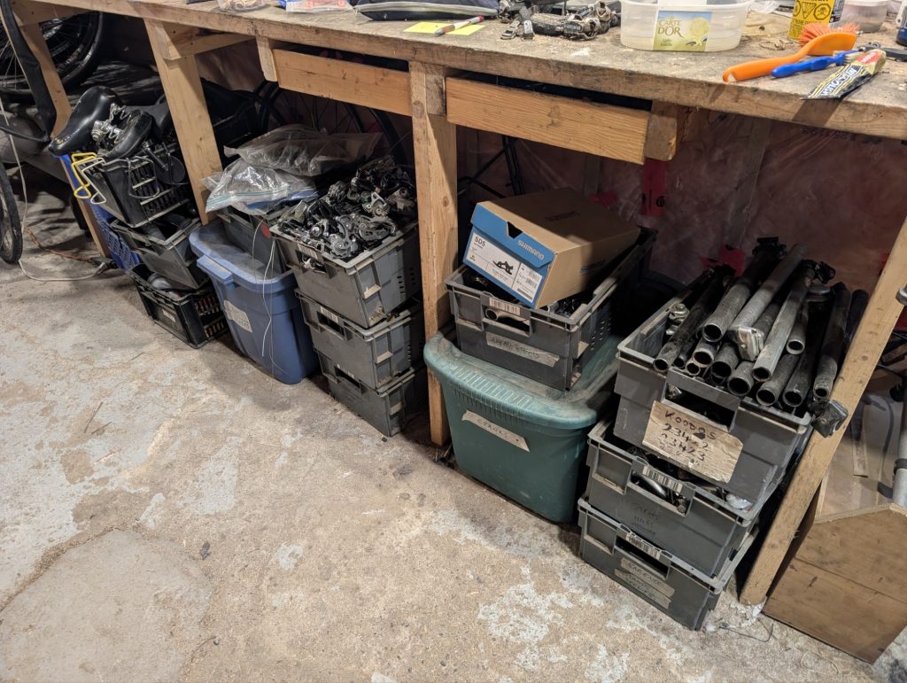
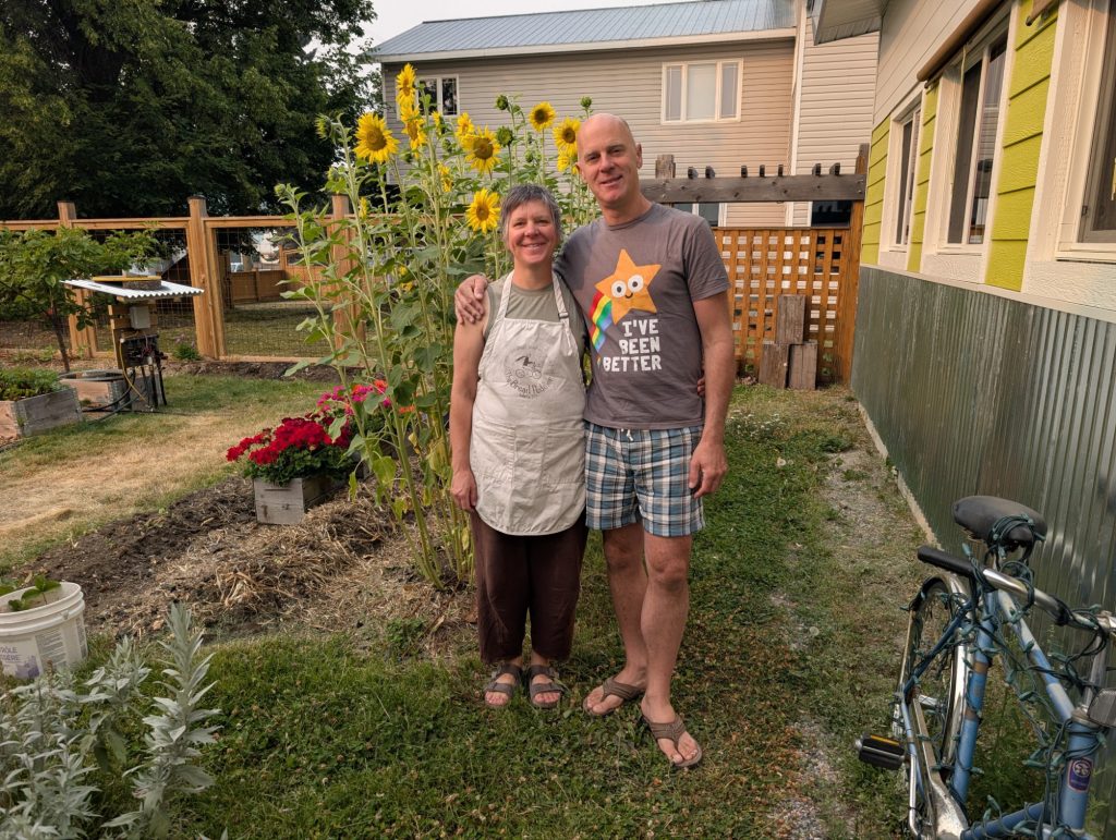
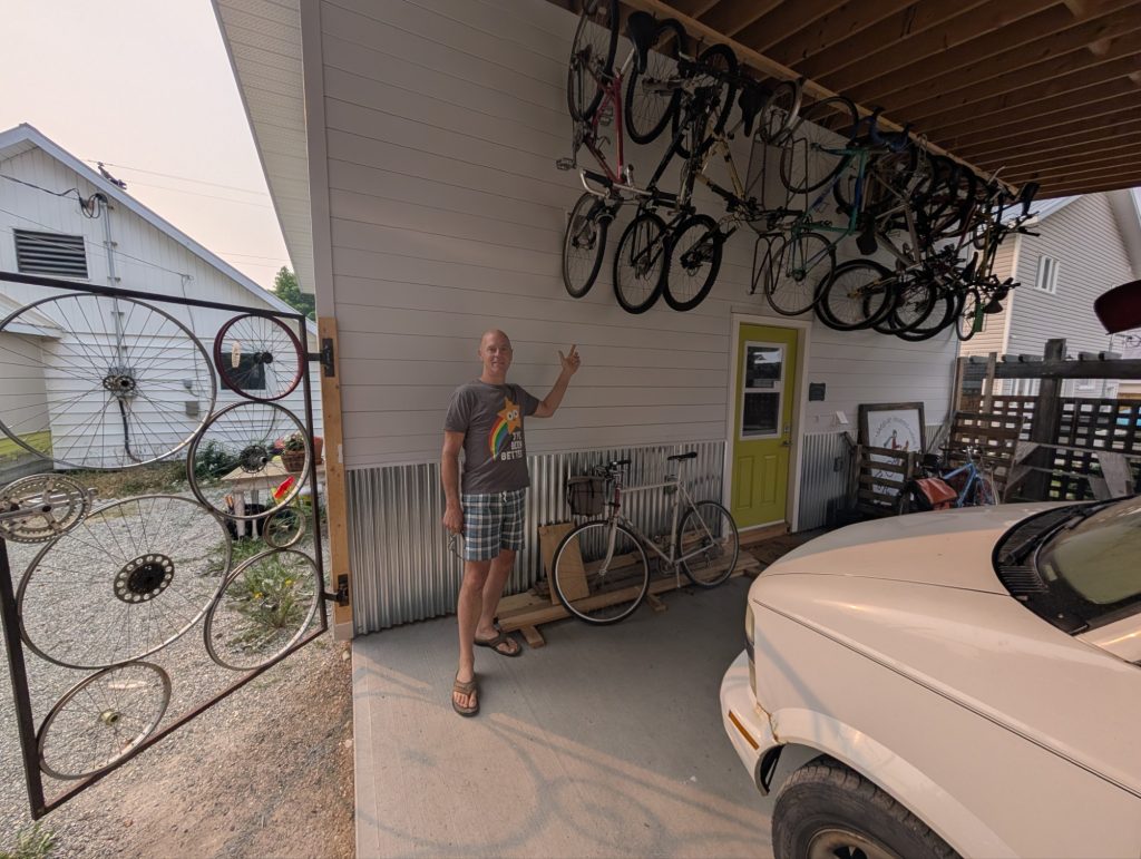
- I stayed with some amazing warmshowers hosts in Kimberley, BC. Tim is a handyman and bicycle fanatic with a workshop full of bicycles and bike parts (like entire boxes labeled ‘rear derailleur parts’), and Kate runs a bakery – “the bread peddler” – out of a wood fired bakery they built in their backyard. They met while separately bicycle touring across Canada! They had lots of great stories, gave me good route advice, and fed me some delicious food!
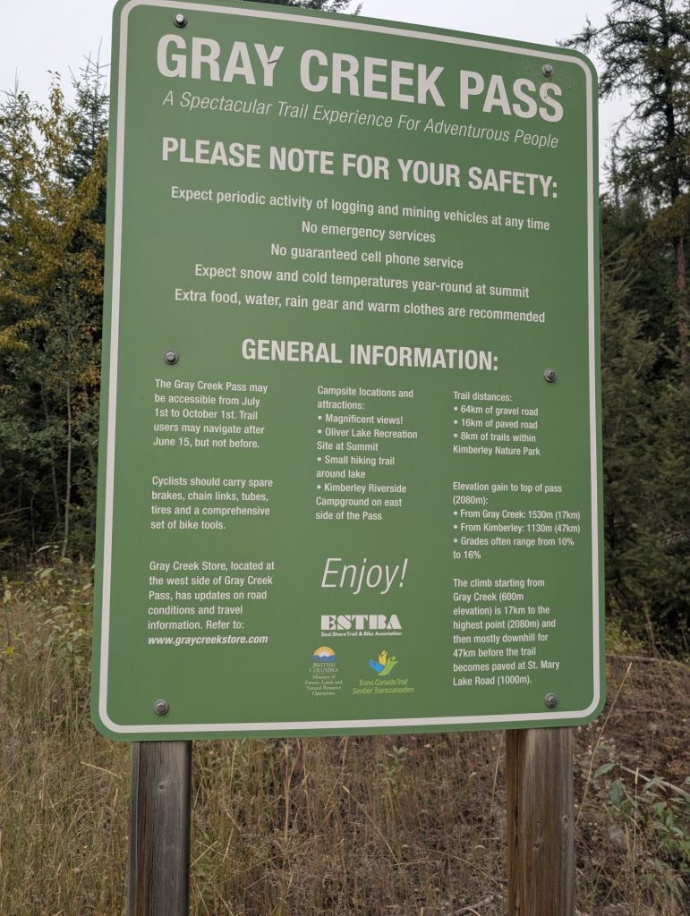
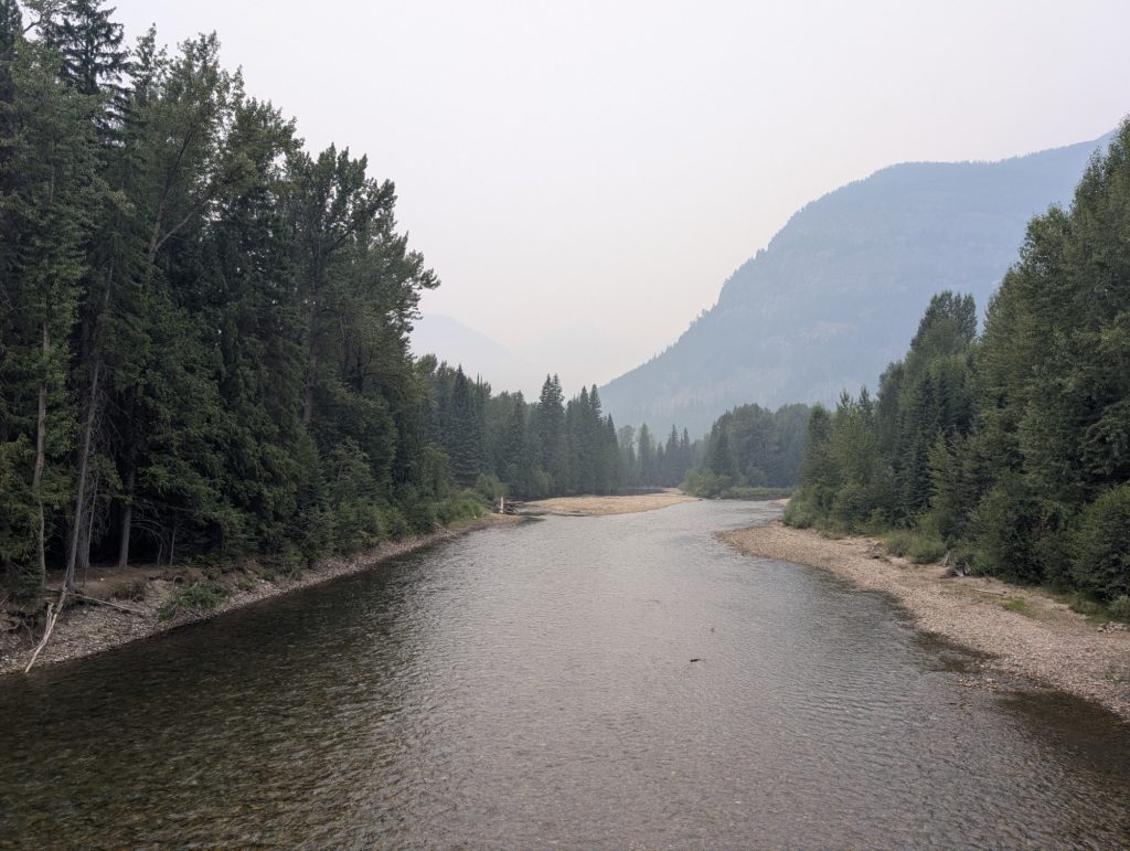
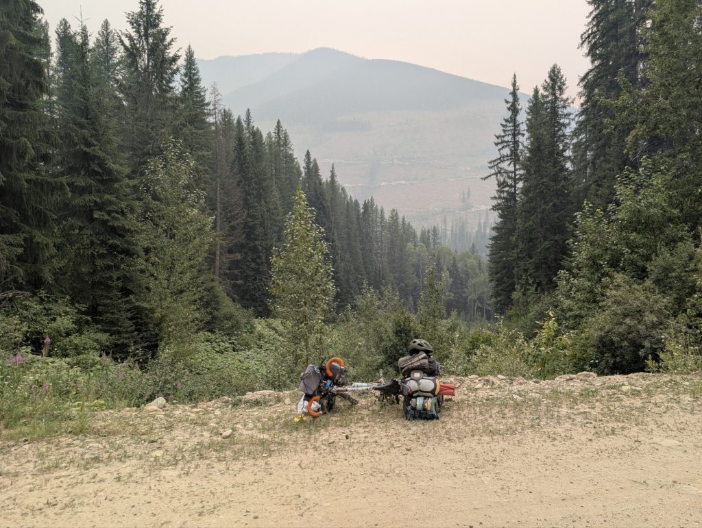
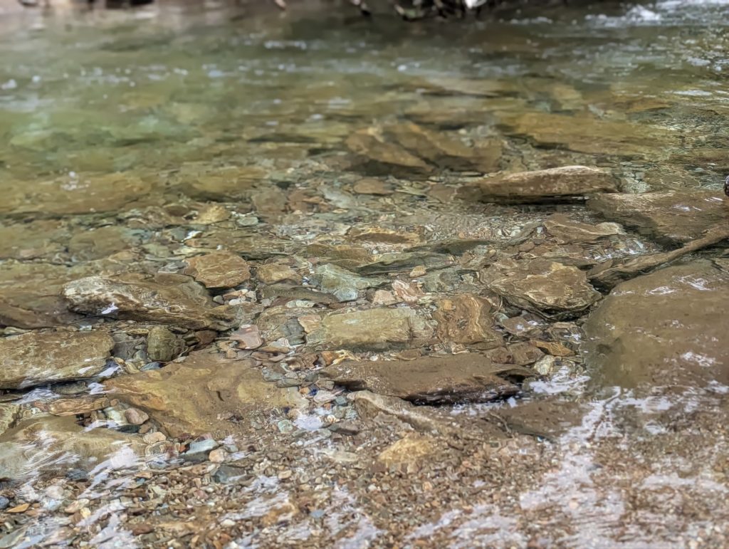
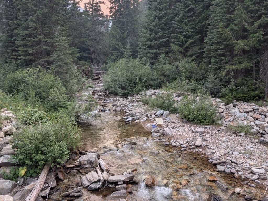
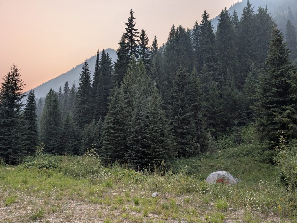
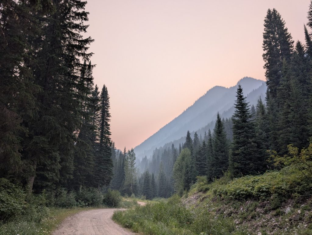
- From Kimberly, I headed west to Grey’s Creek pass, over 3700 feet of steep climbing on an unpaved road. I knew this would be one of the hardest sections of the trip, but Tim and Kate gave me some good information and encouragement. I camped about 6 miles below the summit (just before it got really steep). The ride there was hard, but beautiful. My campsite was on a creek, and I spent the evening watching small fish gobble up bugs.
- The next morning as I was researching my route, my phone finally decided to give up – the screen just became a light show. I think all the gravel I had been riding caused the phone to vibrate too much, and the cable connecting the screen became loose or damaged. In any case, I was now flying blind.
- The final 6 miles was one of the harder rides I’ve ever done – as the sign at the start of the pass warned, the grade was often over 10%, and the gravel road was rough in many spots. The loose rocks and potholes made it difficult to maintain any momentum, and starting after stopping was very challenging. I ended up having to walk my bike in several of the steepest sections, but eventually, I made it to the top! I took a break for lunch, and began the descent. The other side was even steeper – a consistent 9 percent grade for over 10 miles. On a loaded bike with rim brakes on a gravel road that’s too steep to be enjoyable – I was just riding my brakes the whole time, concentrating on avoiding any large rocks or potholes.
- When I made it to the bottom, I rode up to the next town and parked to go into a restaurant when I noticed I WAS MISSING A PANNIER! All that remained was one of the hooks – all the vibration must have caused the bolts to either become loose or shear off. I still don’t know how I didn’t notice it falling off. The pannier had, among other things, all of my clothes, my rain gear, some tools, my medications, and my passport!
- I decided I was too cooked to climb back up looking for it, and got a campsite. The next day, I left my gear, and rode all the way back up to the top of the pass, which took most of the day. No sign of the pannier. I think someone must have picked it up, as I can’t imagine it would have had enough momentum to slide off the road. Not many people travel that road though – I probably saw fewer than 10 cars the day I lost it.
- Given that I now only had the clothes on my back, my phone was broken, and the fires in southern BC (where I was planning to pick up the rail trails) had gotten worse to the point that travel was restricted, I decided that it was probably time to call it quits. I decided to head south into Idaho where (assuming I could cross the border) I could catch a train.
- On the way south, I met another tourist from rural Saskatchewan who was heading back home. We rode together and shared a campsite in Creston (about 12 miles from the border). He also very kindly gave me a rain shell.
- I decided to tell Tim to ship the replacement phone screen there when he got it so he wouldn’t have to deal with international shipping. I ended up having to wait a few days for it, but Creston was a pretty cool town to hang out in. I bought some basic clothes at a department store, and went to the library several times to do research on the Internet, making train/car/hotel reservations to get me back to Oakland. When the phone part was finally delivered to my campground, I got a cheap motel, and managed to perform surgery on my phone and replace the screen, and (somewhat to my surprise) IT ACTUALLY WORKED! So far, my phone has been working as good as new. Nice!
- The next day I headed to the border, expecting at a minimum to be interrogated and searched, but they let me in after just a few questions. (I did still have my ID thankfully). I then had a really pleasant two days of riding to get to Sandpoint, Idaho. Along the way, I decided I wasn’t ready to be done riding!
- When I got to Sandpoint, I found an outdoors store, spent a bunch of money on the bare minimum of gear I needed to keep going, and then planned out a new route of about 900 miles to get me to Eugene, Oregon, where I could catch Amtrak. I also asked my housemate Emily (the hero) to mail me an old pannier, some clothes, and my medications care of general delivery to a town on my route. You can’t keep a good bum down!
A summary of the new route:
- East along the Clark’s Fork River to Thompson Falls, then southwest over Thompson pass (over a cool paved national Forest road)
- Then head east again on the Trail of the Coeur d’alene, a 70 mile long paved bike path paralleling I-90.
- Next, south again along the Route of the Hiawatha, another cool rail trail that goes through many tunnels and over several high trestles
- West along the St. Joe River to Saint Mary’s, then south along back roads down to Lewiston.
- Continue south into northeastern Oregon, to Joseph in the Wallowa mountains, which I’ve always wanted to visit
- West from there along more Oregon back roads to Sisters (avoiding roads I’ve already ridden as much as possible, so staying north of the John Day valley and the transam route), and then finally over Mckenzie pass to Eugene.
Okay, well that at least gets us to the final stage of the trip – sorry there aren’t more pictures, but, you know, broken phone. I’ll hopefully fill in the rest of the trip soon, but now I must sleep.